New roads, new modelling, old questions
As Stuff reports on new traffic modelling for Wellington, we’re keen to understand more (well, anything really). And look: a fun interactive for you!
We’ve been interested for ages in the implications for the transport network of Te Upoko o te Ika that Transmission Gully holds, and the implications of its cousins, the connections in the Northern Corridor, Petone to Grenada, State Highway 2. All the connections between Motorway, and large state highway, and local roads.
And, for that matter, the implications of improvements to the rail network (buses, we feel, should only be squinted at through one’s fingers for a wee while).
Our background interest in all this was piqued again when Stuff reported recently on debate about the Melling interchange (where State Highway 2 meets the congested local roads of Lower Hutt over Te Awakairangi (the Hutt River)). Stuff mentioned some updated modelling from NZTA that shows “12,000 extra cars on the road”.
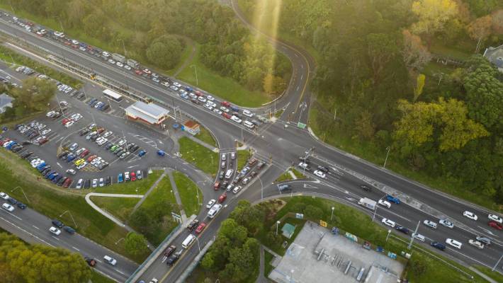
While getting comment from lots of people on the debate around Melling and the cancelled Petone to Grenada highway (including predictable responses from the trucking industry (the Road Transport Forum)), Stuff failed to mention or ask why there would be 12,000 “extra cars on the road”, and what assumptions this was built on. We hope Stuff’s new sharp transport reporters are digging into this.
Give us a hand with this one?
We know our readers would love to know more about the implications of transport modelling for the Wellington region, but it’s a nice meaty topic that doesn’t lend itself to firing off quick posts. So we can do it with a little help from you our friends! It’s lots of fun, promise!
We’d like to start with a few 101s – on Transmission Gully and the other big roads, and also the public transport links.
Just the basics, just the facts, from the information that’s publicly available.
So our readers can be discerning when politicians talk – as they have for decades – implying that This or That Big New Road as the Great Saviour for all kinds of things, Making Everything Better from congestion to housing availability to economic development to your job prospects. So we can ask, as local body elections loom, how it is that we’ve started to see Ōtaki sections being advertised as “Just over an hour’s drive from Wellington”, and Kāpiti coast and Porirua and Hutt Valley land “being opened up for housing” by new roading, while simultaneously hearing that the same new roads will “fix congestion”.
We’re just so full of questions, that we keep being asked but can’t answer. Many of them may have perfectly good answers, and new modelling is always welcome. But we need a hand to get into it! It could be just an hour or so reading and summarising something, or calling someone to clarify conclusions. Easy as, and it’ll be a breeze for anyone with a slightly transport geeky inclination (like so many of us!). But it’ll mean we can put out thoughtful content on this stuff, now Talk Wellington is at reduced capacity.
So if you’re interested too, flick us an email; any help is gratefully appreciated and can be fully anonymous if that’s best.
Banner image: NZTA
Hi
Great ideas—I’m a sceptic believing that new roads just simply fill up, though having seen the new carriageway near Raumati empty many times, maybe asking your kind of questions too.
Jim